The Suez Canal: Did People Really Dig a Sea Lane Through the Desert?
The Suez Canal cuts across the Egyptian desert to join the Mediterranean and the Red Sea. Follow, in video and 19th-century photos, how a waterway lost for eleven centuries was dug again, from the first spadeful in 1859 to the grand opening in 1869.
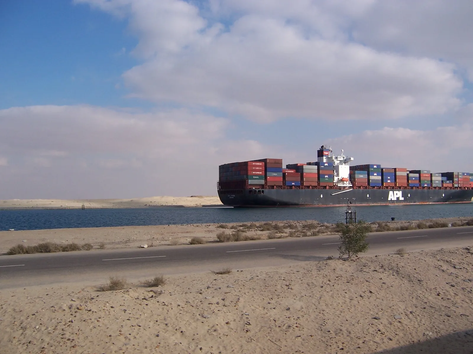
Between low dunes of sand, a container ship stacked high with cargo glides slowly past. It is a sea lane running straight through the desert. Did people really dig this? Start with the short video.

 Watch the one-minute video on YouTube
A shortcut around Africa
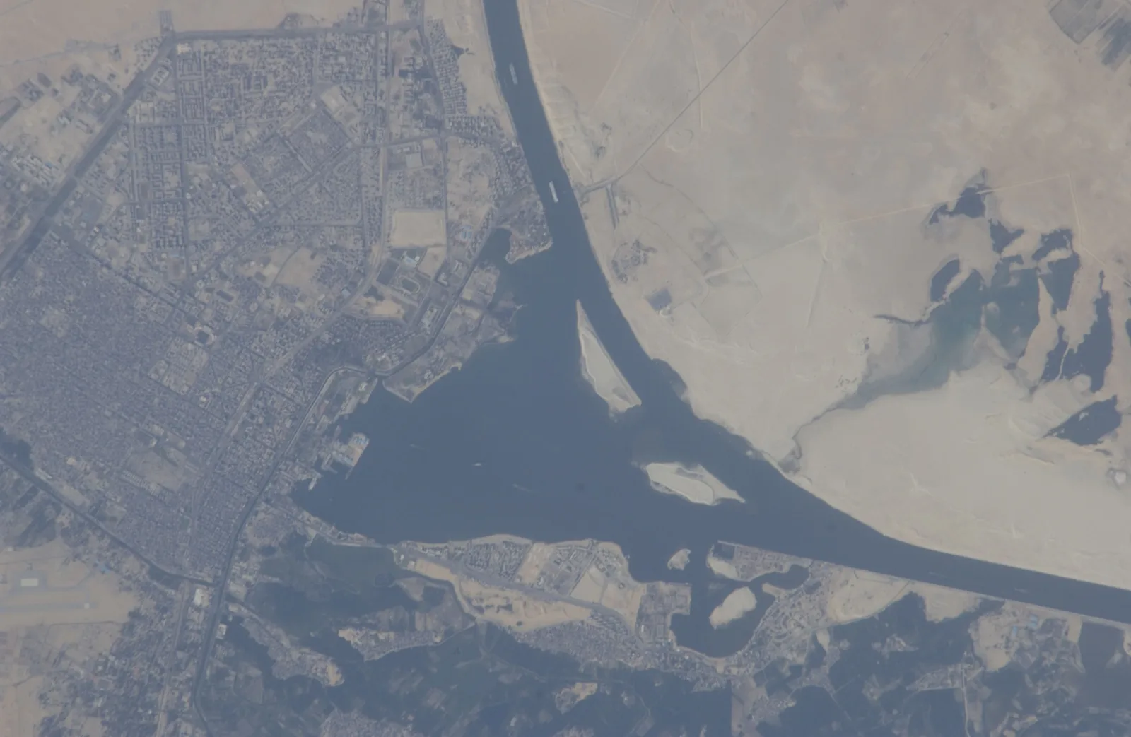
The Suez Canal runs north to south through the desert of north-eastern Egypt, linking the Mediterranean with the Red Sea. It stretches from Port Said on the Mediterranean to Suez on the Red Sea, passing Lake Timsah and the lakeside city of Ismailia about halfway along.
The Suez Canal Authority describes it as the shortest sea route between Europe and the lands around the Indian and western Pacific oceans. Before it existed, ships sailing from Europe to the Indian Ocean had to go all the way around the southern tip of Africa.

An ancient waterway buried in sand
The dream of joining the two seas is very old. According to the Suez Canal Authority, the idea goes back to the pharaoh Senusret III, and later rulers, including Necho II and Darius I, dug the channel again.
Then the Abbasid caliph Abu Jafar al-Mansur ordered the canal filled with sand. For the next eleven centuries, no ship could pass this way.
De Lesseps and the first spadeful
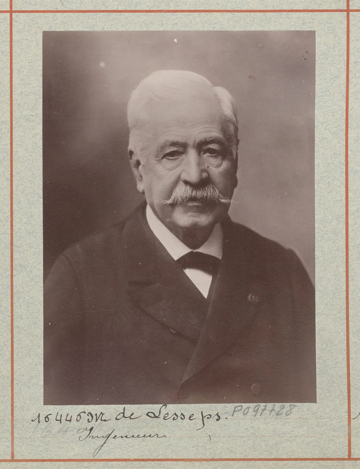
The man who set out to reopen the route was the French diplomat Ferdinand de Lesseps. On 30 November 1854 he won a concession from Egypt to form a company to dig the canal, and the Académie française remembers him as the driving force behind it.

Digging began on 25 April 1859 at al-Farama, the site of today's Port Said. The Suez Canal Authority records that 20,000 Egyptians took part in the groundbreaking, under the harshest of conditions.
Hands and machines
Shifting desert sand was gruelling work. In 1864, a speech recorded in Britain's House of Commons spoke of 30,000 or 40,000 people digging a canal through a sandy desert, and noted that the Ottoman sultan had ordered forced labour in Egypt to stop. Sources disagree on how many people worked on the canal, so no single figure can be pinned down.
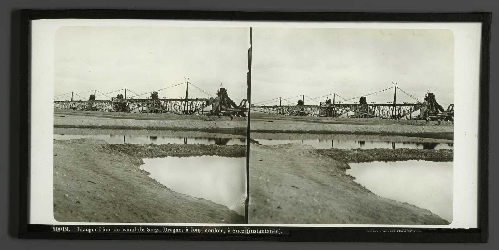
Machines did their share too. A photograph taken at Suez in the year the canal opened shows a row of dredgers fitted with long chutes, like giant slides, built to scoop sand and mud from the bottom and deepen the channel.

When the two seas met
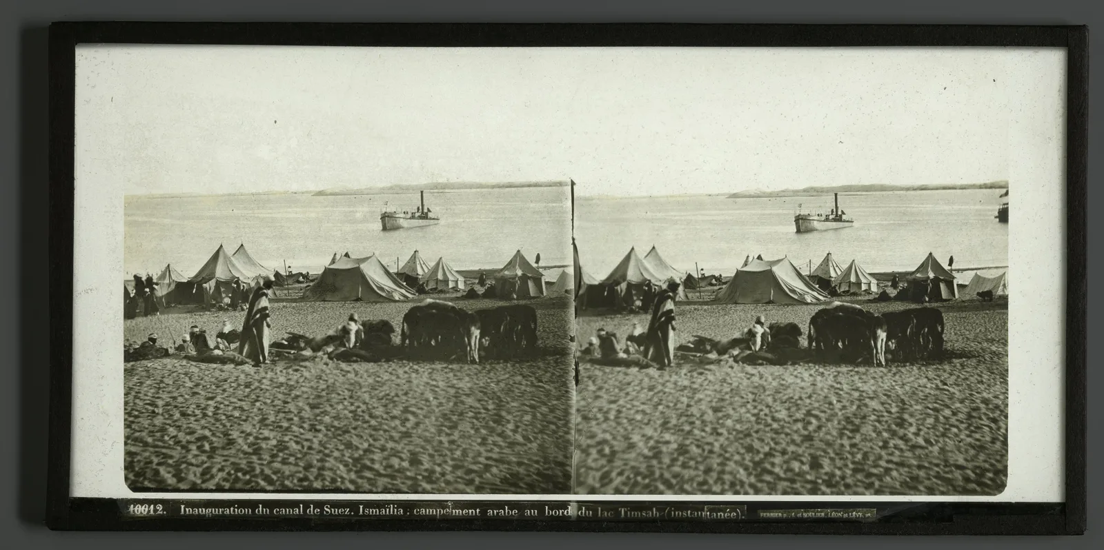
On 18 November 1862, water flowing along the new channel reached Lake Timsah. The photograph below shows the lakeside at Ismailia in 1869, with tents strung along the sand.

Then, on 18 August 1869, the waters of the Mediterranean and the Red Sea finally met.
17 November 1869: opening day
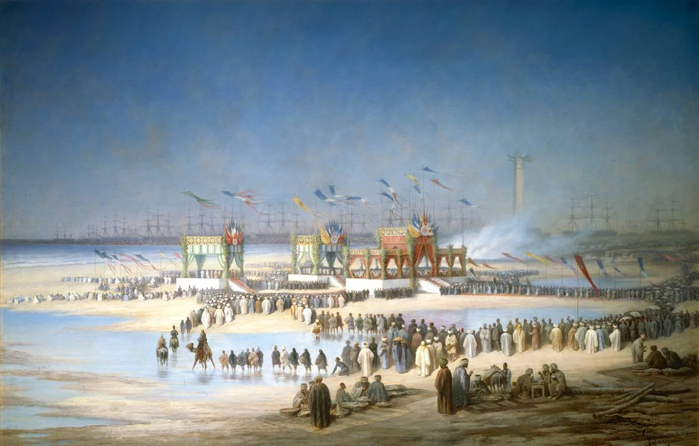
The canal opened on 17 November 1869, before 6,000 guests. A ship carrying Empress Eugénie of France led the way, followed by 77 vessels, 50 of them warships. The artist Édouard Riou recorded the scene.

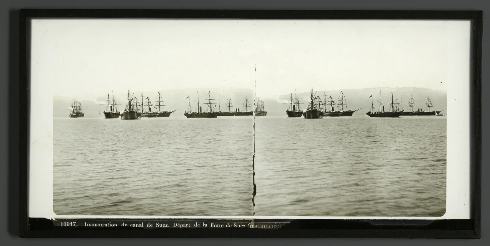
At its opening the canal was 164 kilometres long and 52 metres wide at the waterline, finished roughly ten years and seven months after the first spadeful. The photograph below shows ships gathered off Suez around that time.

The canal after 1869
In 1875 Egypt's ruler, Khedive Ismail, sold his shares in the canal company to Britain, leaving ownership in French and British hands. In July 1956 Egypt nationalised the canal, and today it is run by the Suez Canal Authority, an Egyptian government body. Since its 2015 expansion, the canal has measured 193.30 kilometres from end to end.
Find the Suez Canal on Wooriyeojido
Behind every giant ship gliding through the desert lies the labour of countless people who carried the sand away. The Suez Canal is pinned on the Wooriyeojido map. Find the Suez Canal in the Wooriyeojido app, and if you go, leave your photos and stories from the day right beside it.
View this place in the Wooriyeojido appVideos of nearby places
 Panama Canal: the Miraflores Locks
 How were about 2.3 million stones stacked? The Great Pyramid of Giza
 Why are 3,000-year-old murals so vivid? The Tomb of Nefertari