Why Was Petra, the Red-Rock City, Lost to Europe for More Than 600 Years?
At the end of a narrow rock gorge in southern Jordan lies Petra, a city the Nabataeans carved out of stone. Follow the Swiss explorer Johann Ludwig Burckhardt, who reached it in 1812 after Europeans had gone more than six centuries without seeing it.
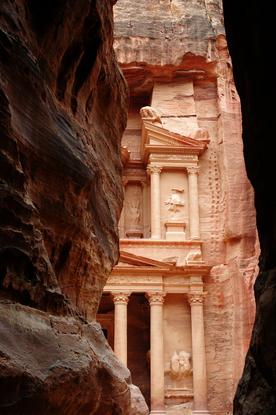
Walk long enough down a narrow cleft between soaring rock walls and a colossal facade, carved straight into red stone, suddenly appears through the gap. This is Petra, in Jordan. Yet for more than 600 years, Europeans had no idea it existed. How could a place like this go missing? Start with the short video.
 Watch the one-minute video on YouTube
A city hidden at the end of a gorge
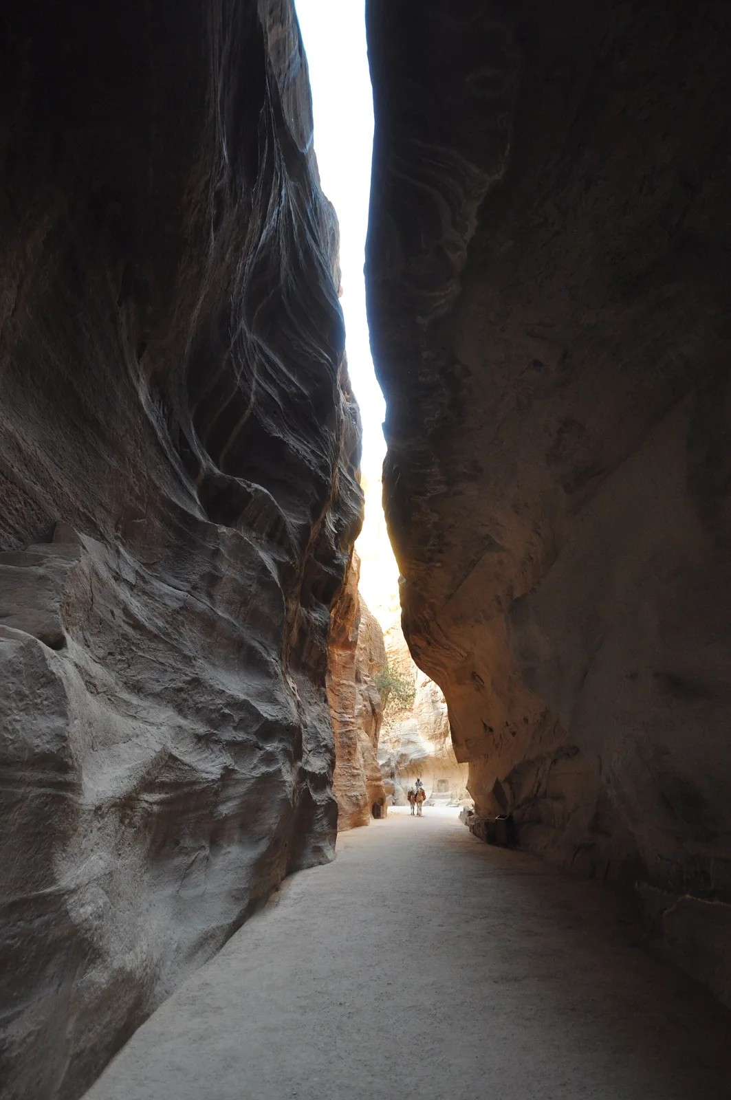
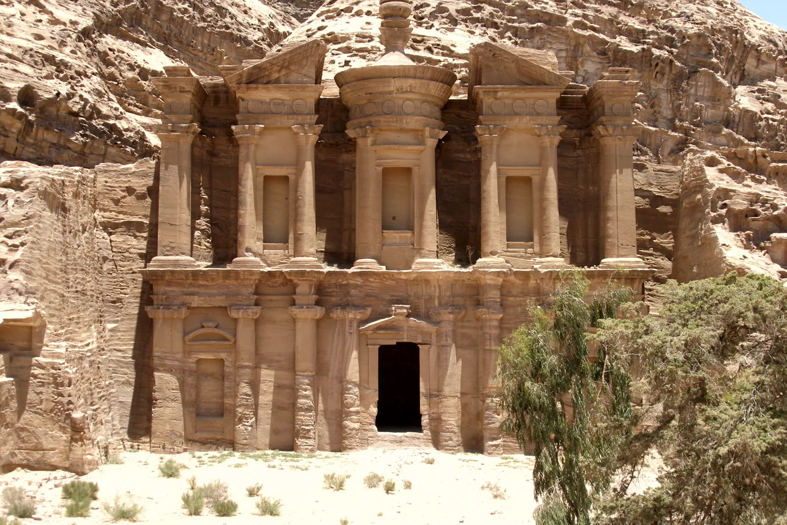
Petra lies in Ma'an Governorate in southern Jordan, next to the town of Wadi Musa. Its main entrance from the east is the Siq, a natural, winding cleft through the rock. Emerge from it and Al-Khazneh fills your view. Farther in stands Ad-Deir, known as the Monastery, and on the surrounding heights are the remains of two Crusader forts, Habis and Wueira.
Petra was added to the UNESCO World Heritage List in 1985. UNESCO describes it as "a lost city that has fascinated visitors since the early 19th century."
A Nabataean capital on the incense road
Petra was the rock-cut capital of the Nabataeans. In Hellenistic and Roman times it became a major caravan center for the incense of Arabia, the silks of China and the spices of India.
How did a big city survive in such dry country? Through ingenious water management. The Nabataeans cut channels and tunnels into the rock and built diversion dams, all feeding a vast network of cisterns and reservoirs that captured and stored the seasonal rains. Burckhardt himself noted channels cut along both sides of the Siq to carry a constant supply of water into the city. Thanks to that system, people lived here through the Nabataean, Roman and Byzantine periods.
When the trade moved on
So why did the city empty out? Nineteenth-century scholars explained that as the trade that had made the Nabataeans rich shifted to other routes, the valley was gradually depopulated.
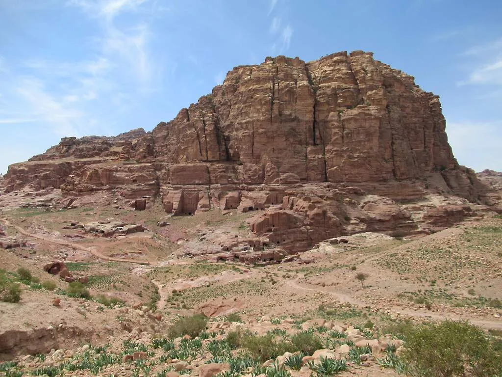
In the 12th century, Crusaders built a small fort on a peak behind Petra. After they left, more than six centuries passed without a European setting foot here.
1812: a goat as an excuse
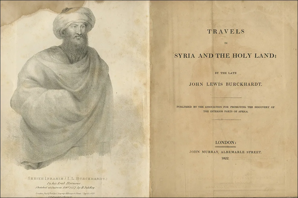
On August 22, 1812, the Swiss explorer Johann Ludwig Burckhardt arrived. Dressed in Arab style, he was traveling as Sheikh Ibrahim ibn Abdallah. He had heard the local people speak of the ruins of Wadi Musa "in terms of great admiration," and he was determined to see them.
He didn't reveal that, though. Instead, he claimed to have made a vow to sacrifice a goat at the tomb of Aaron, which stands on a summit at the far end of the valley, and set off behind a local guide.
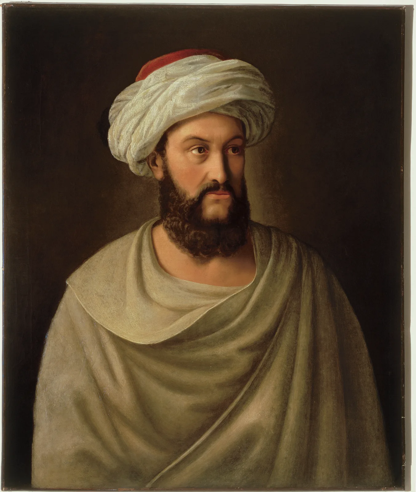
The guide still suspected the stranger had come for hidden treasure. At the time, locals called Al-Khazneh "Kaszr Faraoun," Pharaoh's Castle. Not wanting to provoke his guide, Burckhardt couldn't linger and had to move on quickly. But he recorded what he saw and heard with great care, and concluded that it "appears very probable that the ruins in Wady Mousa are those of the ancient Petra." He died in 1817; his travels were published in 1822.
Never really lost
Was Petra truly "lost"? Only to the outside world. As a Cambridge University article puts it, it had remained hidden "from western eyes." People went on living in the valley the whole time. When Burckhardt came, there were farmers working the land there, and it was local people who told him about the ruins in the first place. According to UNESCO, the Bdul, a Bedouin tribe, used to live seasonally in the Petra basin before being resettled elsewhere.
Find Petra on Wooriyeojido
A city Europe didn't see for more than 600 years now welcomes visitors from all over the world, who walk the Siq to stand before Al-Khazneh. Petra is pinned on the Wooriyeojido map. Look it up in the app, and if you visit, leave your photos and stories from the day right beside it.
View this place in the Wooriyeojido app


