The Nazca Lines: who drew Peru's giant desert pictures, best seen from the sky?
Huge figures and lines scratched into the desert of southern Peru have survived for more than 2,000 years. Here is what UNESCO and recent research tell us about who made them, how and why, in video and photos.
Scratched into the desert of southern Peru are enormous pictures. Some stretch more than 100 metres, yet standing on the ground you can barely tell what they are. To see them properly, you have to look down from above. So who made drawings meant to be seen from the sky? Start with the short video.

 Watch the one-minute video on YouTube
400 kilometres south of Lima
The Nazca Lines lie around the town of Nazca in Peru's Ica region, some 400 kilometres south of the capital, Lima, on a flat, stony desert plain known as the pampa. The figures and lines are spread over about 450 square kilometres, and in 1994 they were inscribed on the UNESCO World Heritage List as the Lines and Geoglyphs of Nasca and Palpa.
Hummingbirds, monkeys and lines for miles
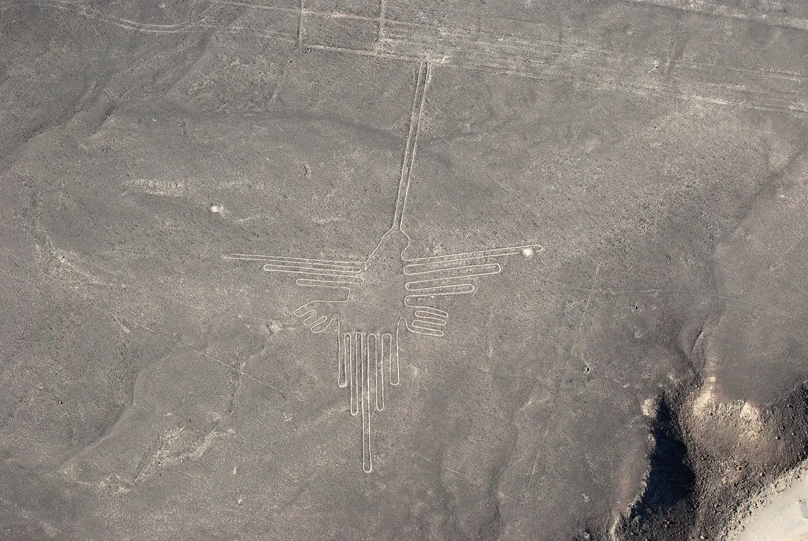
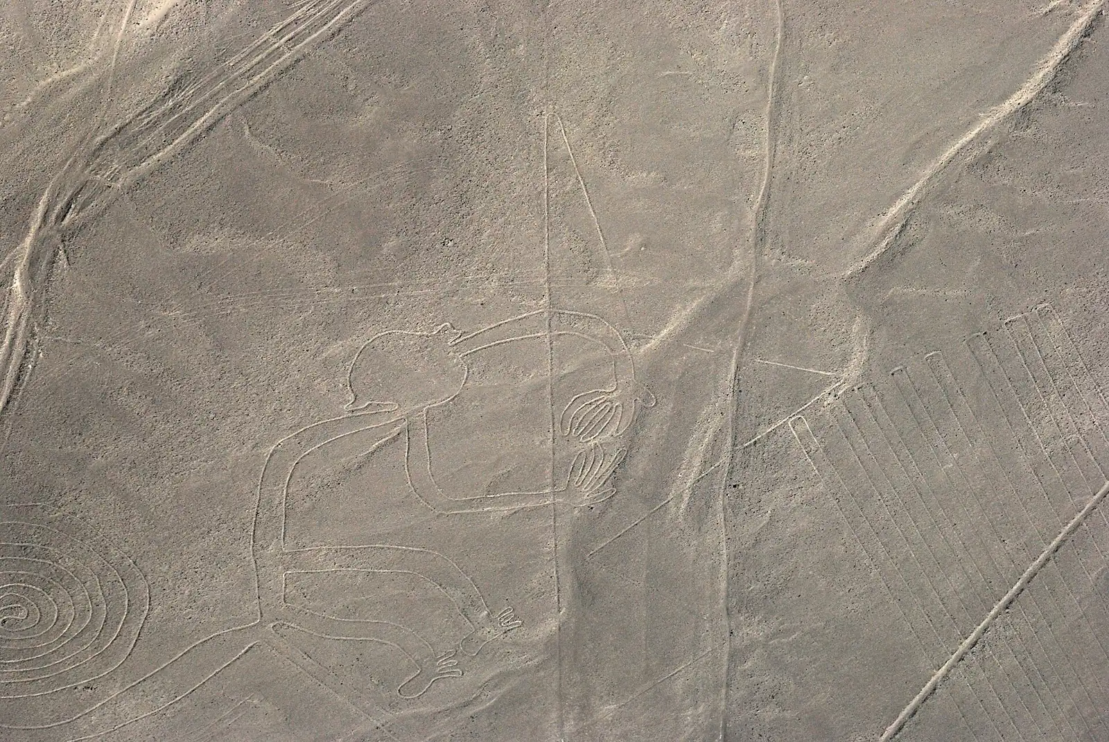
The most famous figures are a hummingbird with a long, slender beak and a monkey with a tightly curled tail. There are many more living things, too: a spider, birds, trees and flowers.

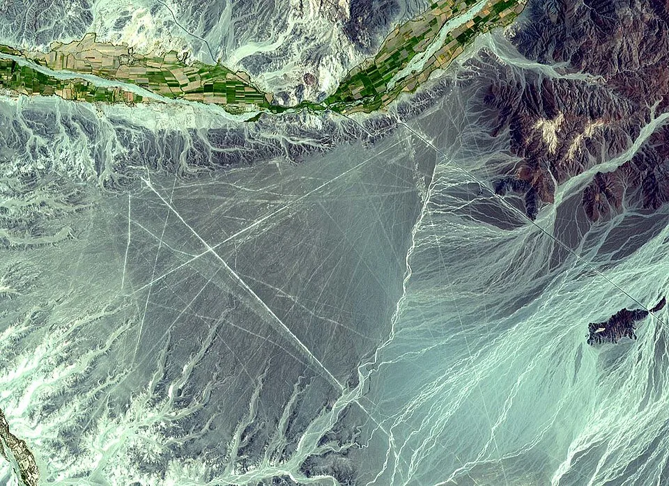
Animals are only part of it. Straight lines run for several kilometres, and geometric shapes such as triangles and spirals are scattered across the desert. From a satellite, the straight lines and trapezoids slicing across the plain stand out clearly.

The view from the tower
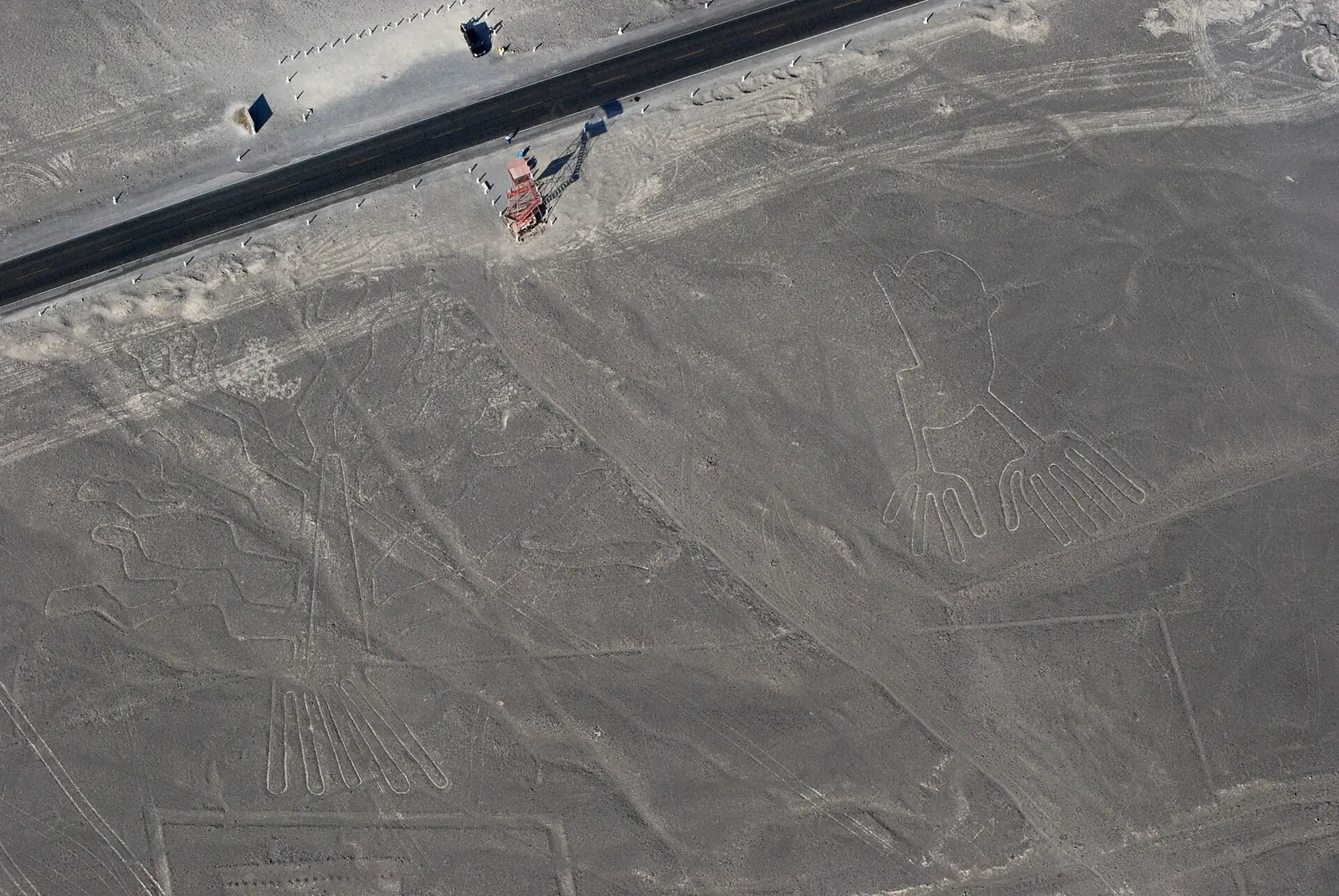
About 20 kilometres north of Nazca, beside the Pan-American Highway where it cuts through the desert, stands a metal viewing tower. Climb it and you can look down on figures known as the Hands and the Tree. Step back down to the ground and the same figures turn into a few pale stripes in the gravel. Aerial photos show the highway running right alongside them.

Drawing by moving stones
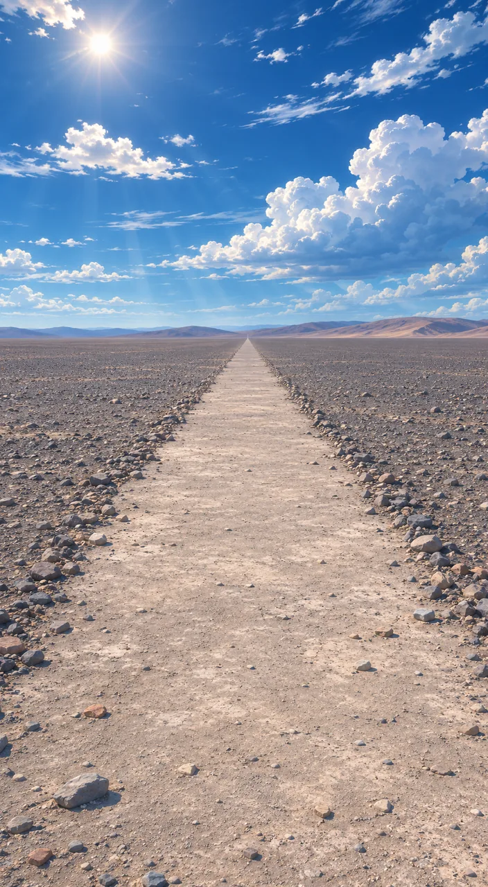
The technique is surprisingly simple. The desert surface is covered with gravel darkened by centuries of weathering. Clear that gravel away and lighter ground shows through underneath. The ancient makers picked away the stones selectively, and the cleared paths became lines and pictures.
This is one of the driest places on Earth, with some of the lowest rainfall anywhere. That extreme aridity is what has kept the drawings intact for more than two thousand years.
The people of Nasca
According to UNESCO, the lines were made between 500 BC and AD 500. The earliest date from the Paracas phase (400 to 200 BC) and the rest from the Nasca phase (200 BC to AD 500). Peru's state news agency, Andina, attributes the geoglyphs to the Nasca society.
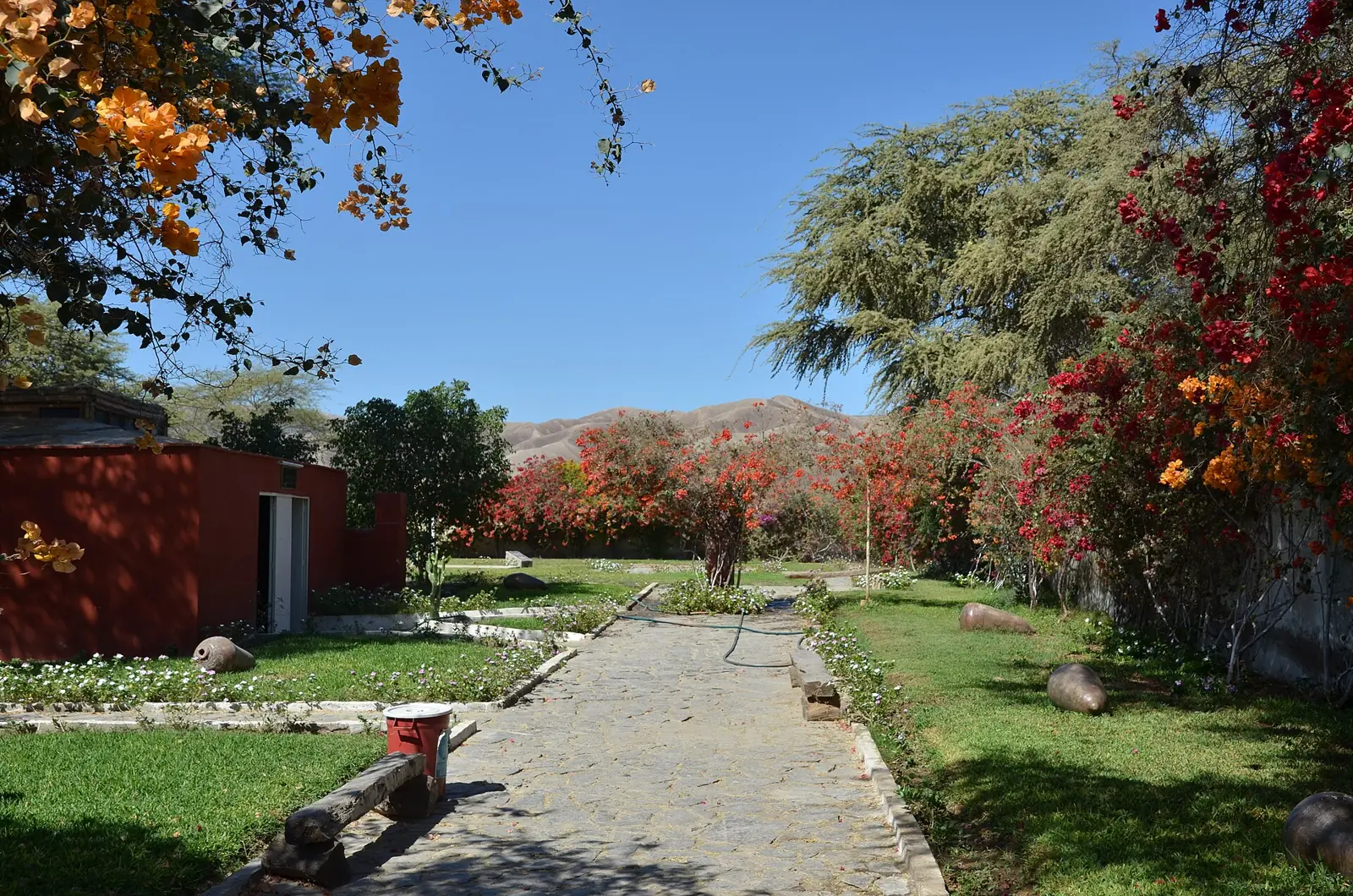
The lines became known to the wider world in the 1920s. Later, the researcher Maria Reiche spent decades studying and protecting them, and the house where she lived is now a museum.

New figures keep appearing
In 2024 a team from Yamagata University in Japan used artificial intelligence to guide a six-month field survey and found 303 new figurative geoglyphs. Until then, 430 were known, so the count nearly doubled.
And why were they made? UNESCO says they are believed to have had ritual and astronomical functions. The Yamagata team splits the figures into two groups. The giant figures drawn in lines, which mostly show wild animals, were likely made for community ceremonies. The small figures, placed within sight of winding footpaths, seem to have been meant for passers-by to see. Not every drawing, in other words, was meant only for the sky.
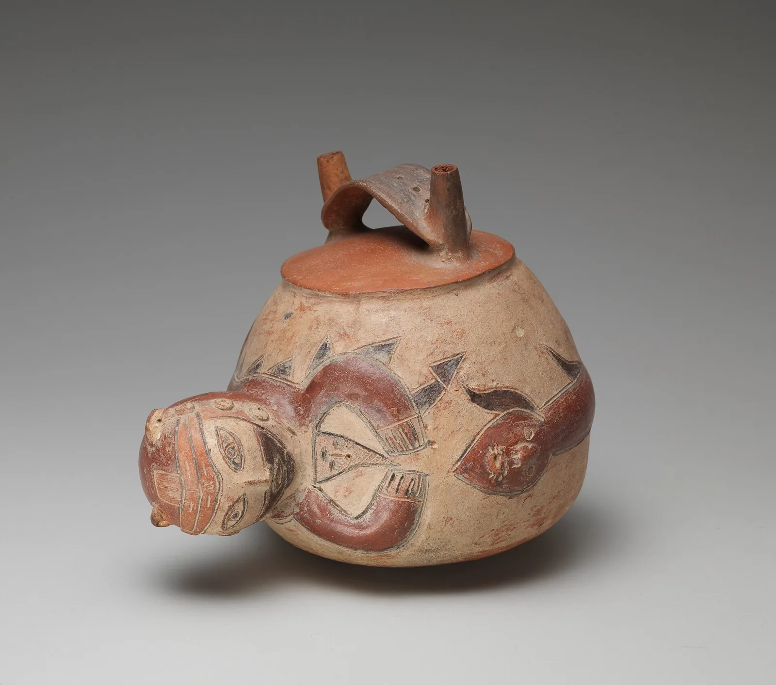
The Nasca people also shaped and painted animals such as monkeys on their pottery.

Find the Nazca Lines on Wooriyeojido
More than two thousand years ago, long before anyone could fly, the people of this desert left pictures on the land by clearing away stones. The Nazca Lines are pinned on the Wooriyeojido map. Find the Nazca Lines in the Wooriyeojido app, and if you go, leave your photos and stories from the day right beside it.
View this place in the Wooriyeojido appVideos of nearby places
 Machu Picchu, the mountaintop city rediscovered in 1911
 Iguazu Falls: the Devil's Throat
 Panama Canal: the Miraflores Locks
Sources
- UNESCO World Heritage Centre — Lines and Geoglyphs of Nasca and Palpa (700)
- Agencia Andina — ¿Qué son los geoglifos?, ¿Cómo se hicieron y cuáles son los más emblemáticos de Perú? (2023-12-30)
- Yamagata University — AI accelerates Nazca exploration (2024-09-24)
- Sakai et al., PNAS 121(40) e2407652121 (2024)
- Ministerio de Cultura del Perú — Guía de Museos del Perú 2013 (Casa Museo María Reiche)
- Lonely Planet — Mirador (Nazca)
- The Metropolitan Museum of Art — Bottle, Monkey (Nasca, 1st century B.C.–1st century A.D.)