Machu Picchu: Was the Inca Mountain City Really Hidden for 400 Years?
Machu Picchu sits on a ridge 2,430 meters up in the Peruvian Andes. When was it built, why was it abandoned, and how did it reach the wider world in 1911? A short video and century-old photographs tell the story.
High on a ridge in the Peruvian Andes stands a city of stone. The Inca built it in the fifteenth century, and after its people left in the mid-1500s, it slipped out of the outside world's knowledge for well over 350 years. Then, in 1911, its name suddenly went around the globe. Start with the short video to see how Machu Picchu was forgotten and found again.
 Watch the one-minute video on YouTube
A stone city on an Andean ridge
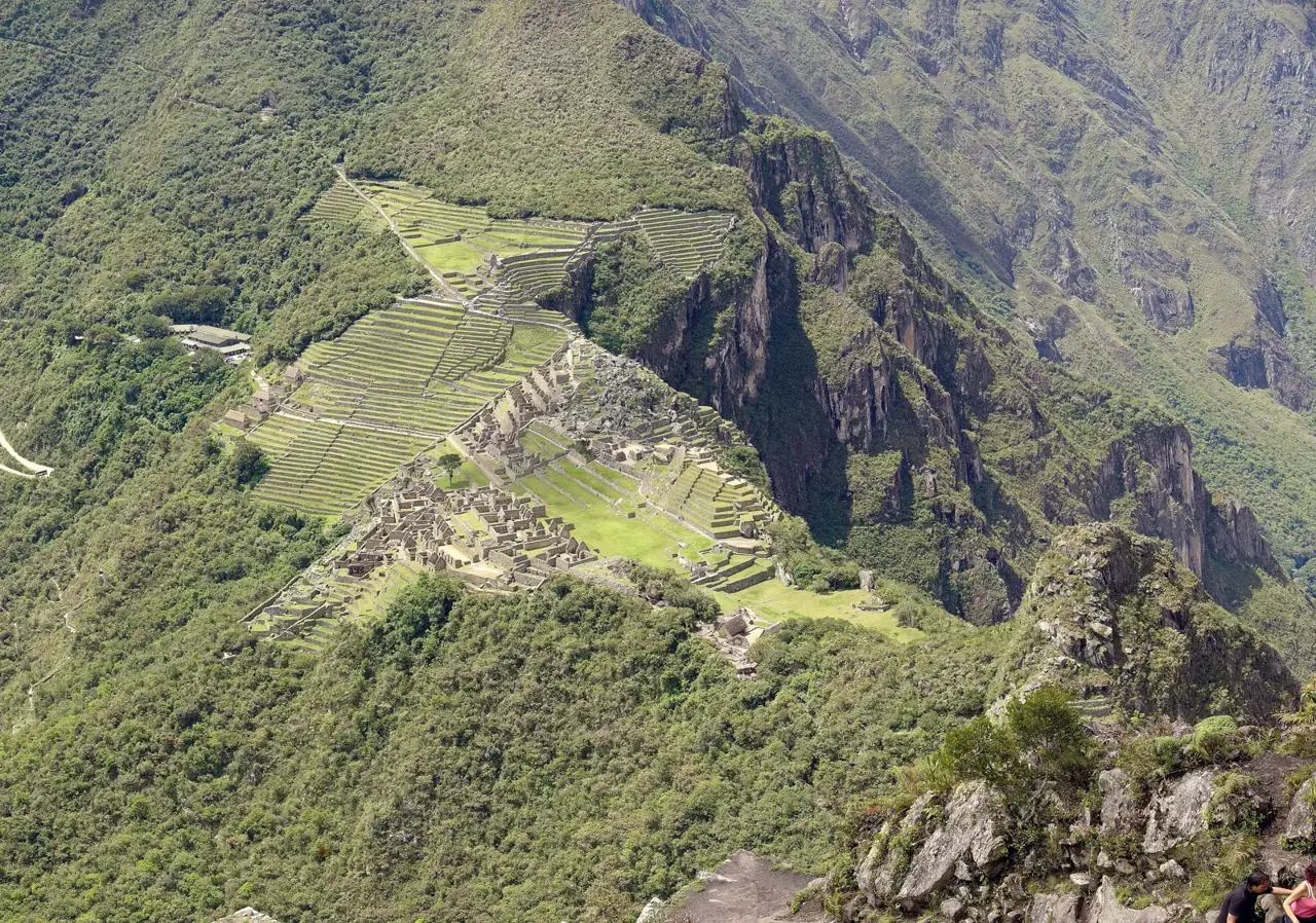
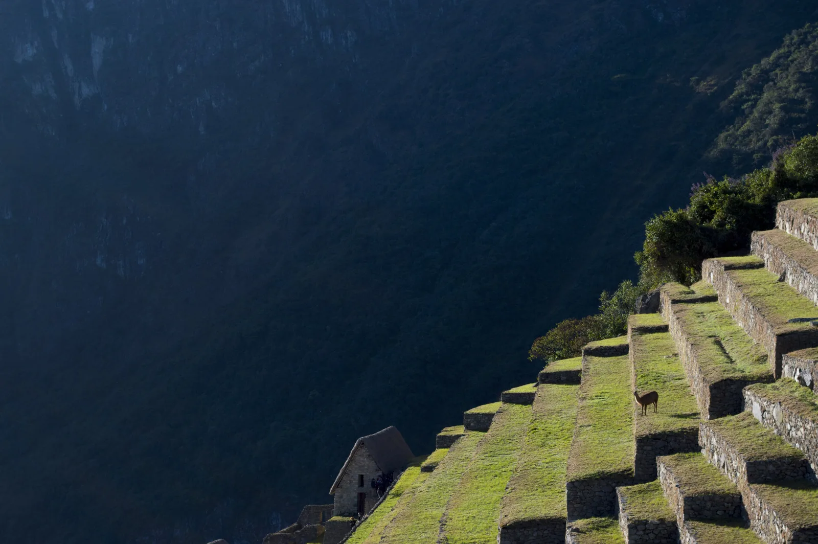
Machu Picchu lies about 80 kilometers (50 miles) northwest of Cusco, on a mountain ridge 2,430 meters (nearly 8,000 feet) above sea level. It became a UNESCO World Heritage Site in 1983 and is counted among the great monuments of Inca civilization. Stone-walled terraces climb the steep slopes around it.
Who built it, and when?
Machu Picchu is often described as a royal estate. Many scholars think the Inca ruler Pachacuti had it built after conquering the valleys of the region. No written record from the time survives, though, so this remains an informed guess.
The construction date was revised in 2021. A team led by Professor Burger of Yale ran radiocarbon dating on bones and teeth from 26 people buried in four cemeteries at the site. The results showed the city was in use from around 1420, decades earlier than the long-accepted estimate of 1450 to 1460. The researchers concluded that people lived there from about 1420 to about 1530.
Why did people leave?
Nobody knows for certain. The usual explanation points to the collapse of the Inca Empire and to diseases that arrived with Europeans. Once the people were gone, plants and trees crept over the stone walls, and that cover ended up protecting many of the buildings.
1911: back on the map
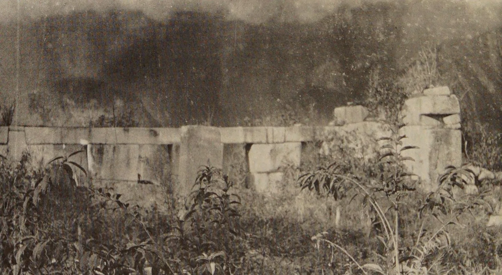
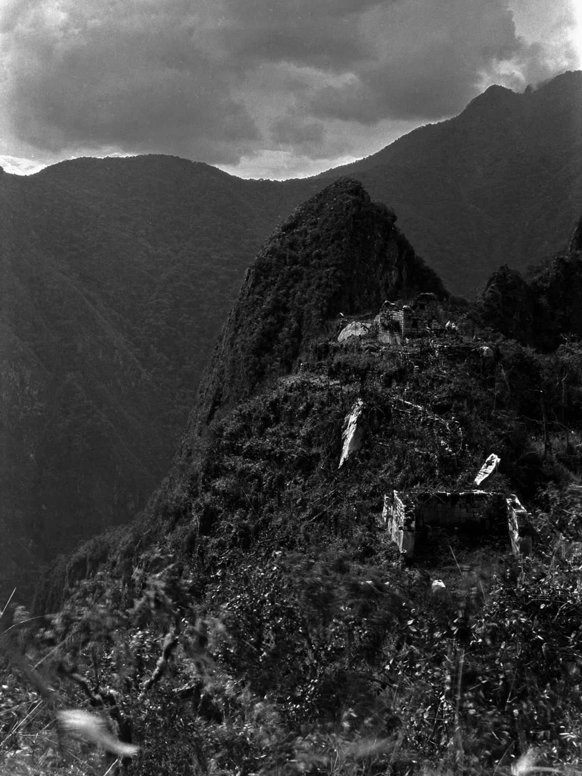
On July 24, 1911, Hiram Bingham, leading an expedition from Yale, climbed the mountain with a local guide, Melchor Arteaga. At the top he found two farmers already working the old Inca terraces. One of the first photographs he took that day shows the stone wall of the Temple of the Three Windows.
So Machu Picchu was never truly lost. People nearby knew it was there. It had simply been forgotten by the outside world, and Bingham was the one who made its name known.
Clearing the brush in 1912
The following year, Bingham's expedition began by clearing away the thick vegetation. The next two photographs show the same spot: first buried in brush in 1911, then cleared in 1912.
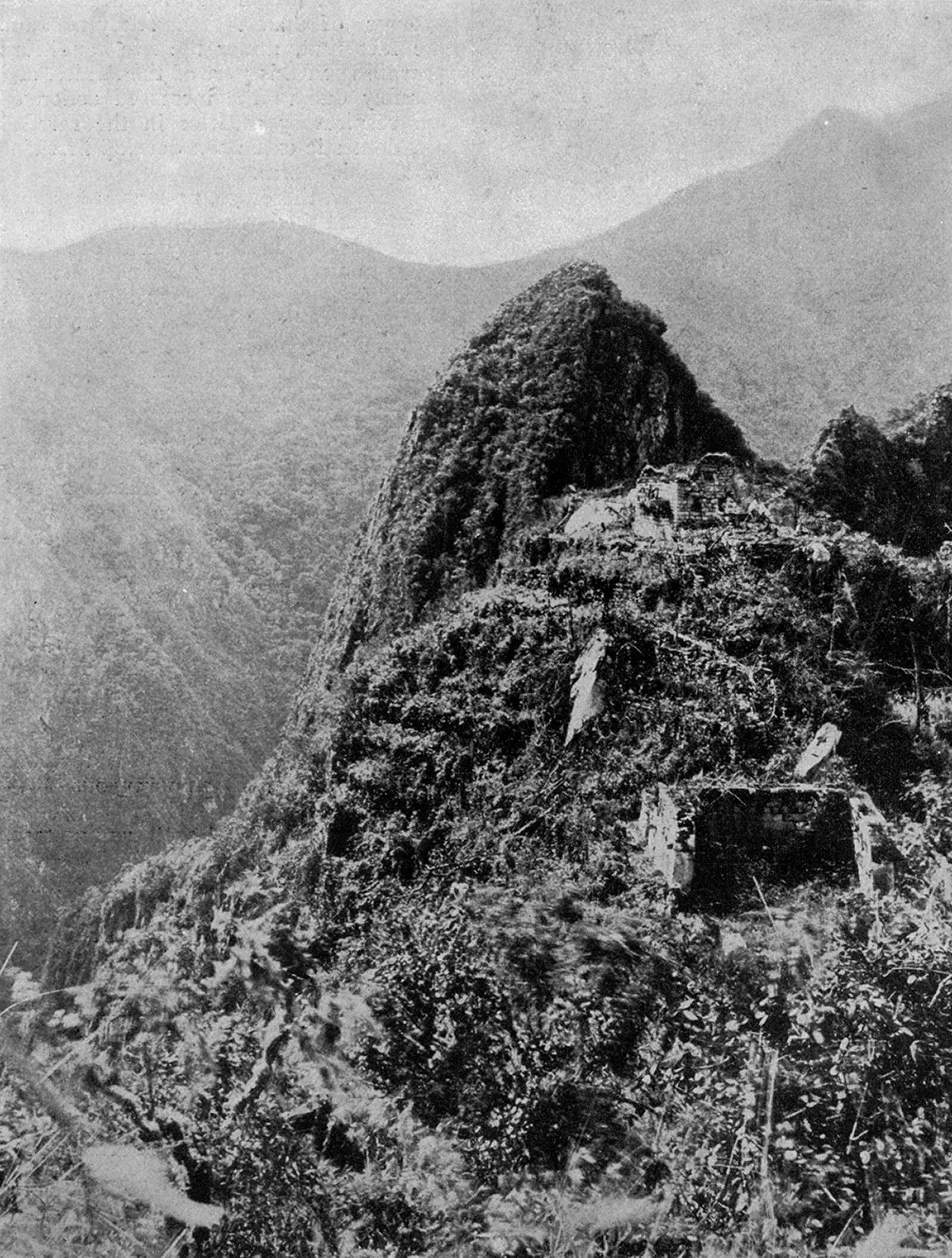
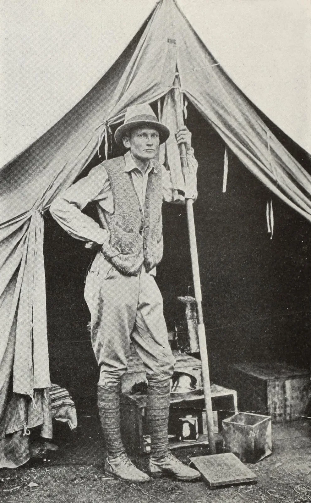
The team camped beside the ruins while they worked.
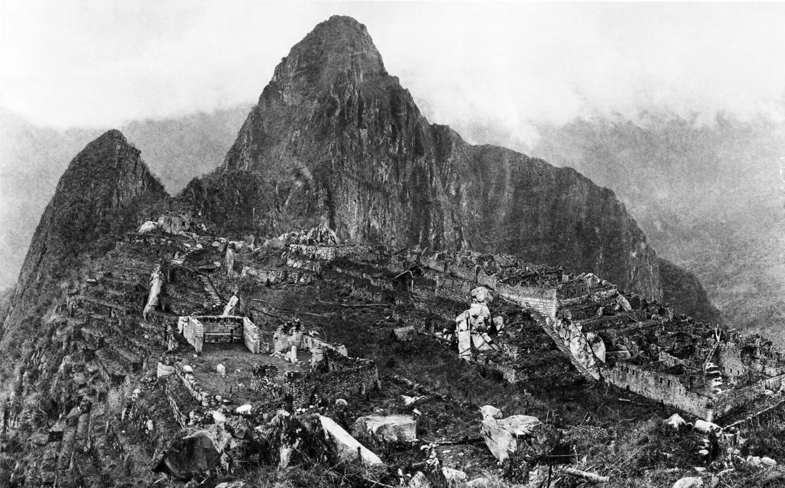
When the clearing was done, the whole city stood out sharply against the peak of Huayna Picchu.
The artifacts go home
The objects Bingham excavated in 1912 were shipped to Yale and kept there for decades. In November 2010, Peru and Yale agreed on their return, and the first shipment reached Peru in March 2011, followed by more in December 2011 and November 2012. They are now housed at the Casa Concha museum in Cusco, which opened in October 2011.
Find Machu Picchu on Wooriyeojido
The Inca city on its ridge 2,430 meters up was never hidden, only forgotten by the outside world for more than 350 years. Machu Picchu is pinned on the Wooriyeojido map. Find it in the Wooriyeojido app, and if you go, leave your photos and your story right beside it.
View this place in the Wooriyeojido appVideos of nearby places


Sources
- UNESCO World Heritage Centre — Historic Sanctuary of Machu Picchu (274)
- Yale Alumni Magazine — Older than we knew
- Burger, Salazar, Nesbitt & Washburn, New AMS dates for Machu Picchu: results and implications, Antiquity 95 (2021)
- Yale News — Peru-Yale partnership for the future of Machu Picchu artifacts (2015-06-04)