Göbekli Tepe: Stone Pillars Raised 7,000 Years Before the Pyramids
On a hilltop in southeastern Türkiye, people who had not yet begun farming raised giant T-shaped stone pillars more than 11,000 years ago. Who built them, how, and why, according to what archaeologists have found so far, in a short video and photos.
On a hilltop in southeastern Türkiye stand stone pillars raised some 7,000 years before the Great Pyramid of Giza. Giant T-shaped monoliths are arranged in rings, and the people who carved them had not yet learned to farm. Who were they, and why did they build this? Start with the short video.

 Watch the one-minute video on YouTube
A hill made by human hands
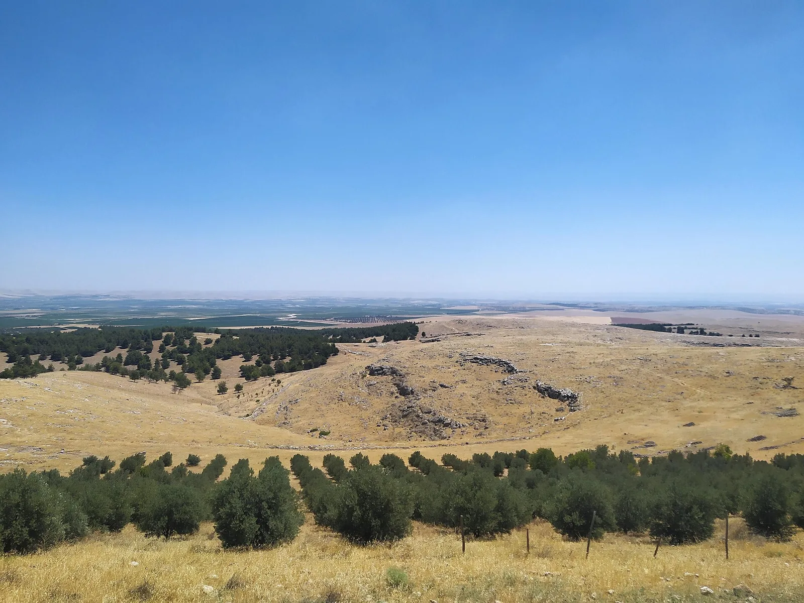
Göbekli Tepe lies about 15 kilometres northeast of the city of Şanlıurfa, on the highest point of the barren Germuş mountains. The mound is about 15 metres high and covers roughly 9 hectares, and according to the German Archaeological Institute, which has led the excavations, it is entirely man-made. It was inscribed as a UNESCO World Heritage Site in 2018.

Older than the pyramids, older than Stonehenge
UNESCO dates the stone enclosures to between 9600 and 8200 BCE. Khufu's Great Pyramid was built around the 2580s BCE, so the earliest buildings here are roughly 7,000 years older. The German Archaeological Institute even refers to Stonehenge as "6000 year younger." Measured from the last buildings, around 8200 BCE, the gap to the pyramid shrinks to about 5,600 years.
A hill of scattered flints
Göbekli Tepe was first recorded as a prehistoric site in 1963, during a joint Turkish-American survey. At the time, the only clue was a scatter of flint on the surface.
That changed in 1994. Klaus Schmidt of the German Archaeological Institute, guided to the hill by a local farmer, spotted a large block of limestone and recognised in it the head of a T-shaped pillar like those he had seen at another site nearby. The next year, in 1995, the Şanlıurfa Museum and the German Archaeological Institute began digging.

Rings of T-shaped pillars
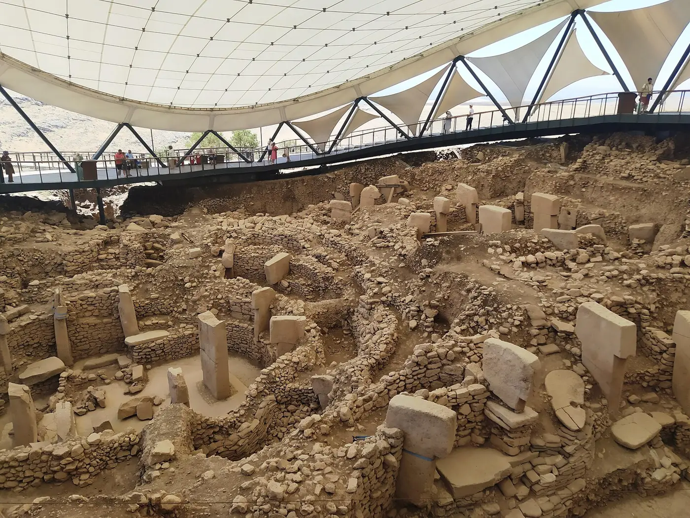
What came out of the ground was a series of round and oval enclosures. In the middle of each stand two large pillars, more than 5 metres tall, facing each other, surrounded by a ring of smaller T-shaped pillars. The tallest, UNESCO says, reach 5.5 metres.
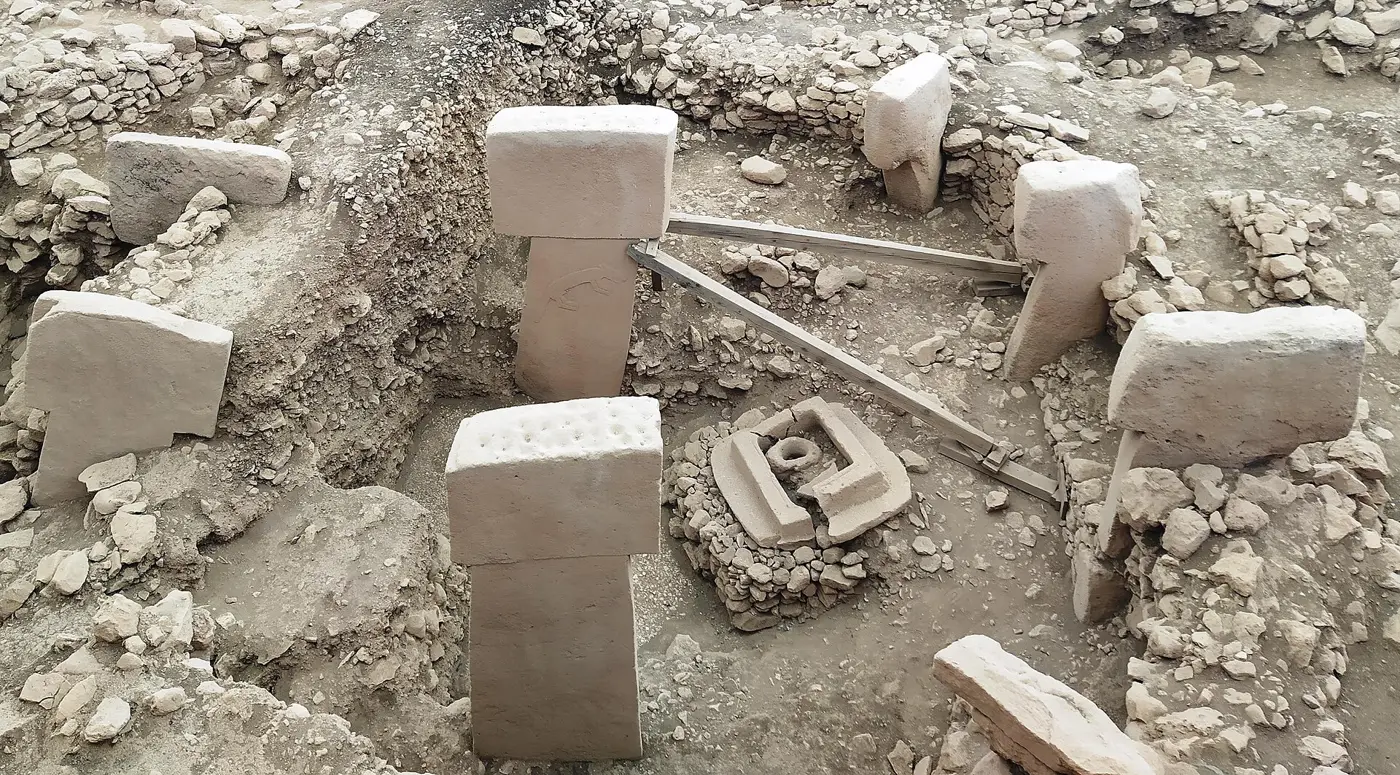

Many of the pillars are carved. There are lots of birds, predators such as foxes, and spiders and insects. Some pillars bear arms and hands, the hands resting on a belt from which hangs a loincloth. That is why archaeologists read the pillars as stylised human figures: the crossbar of the T is the head, the shaft is the body.
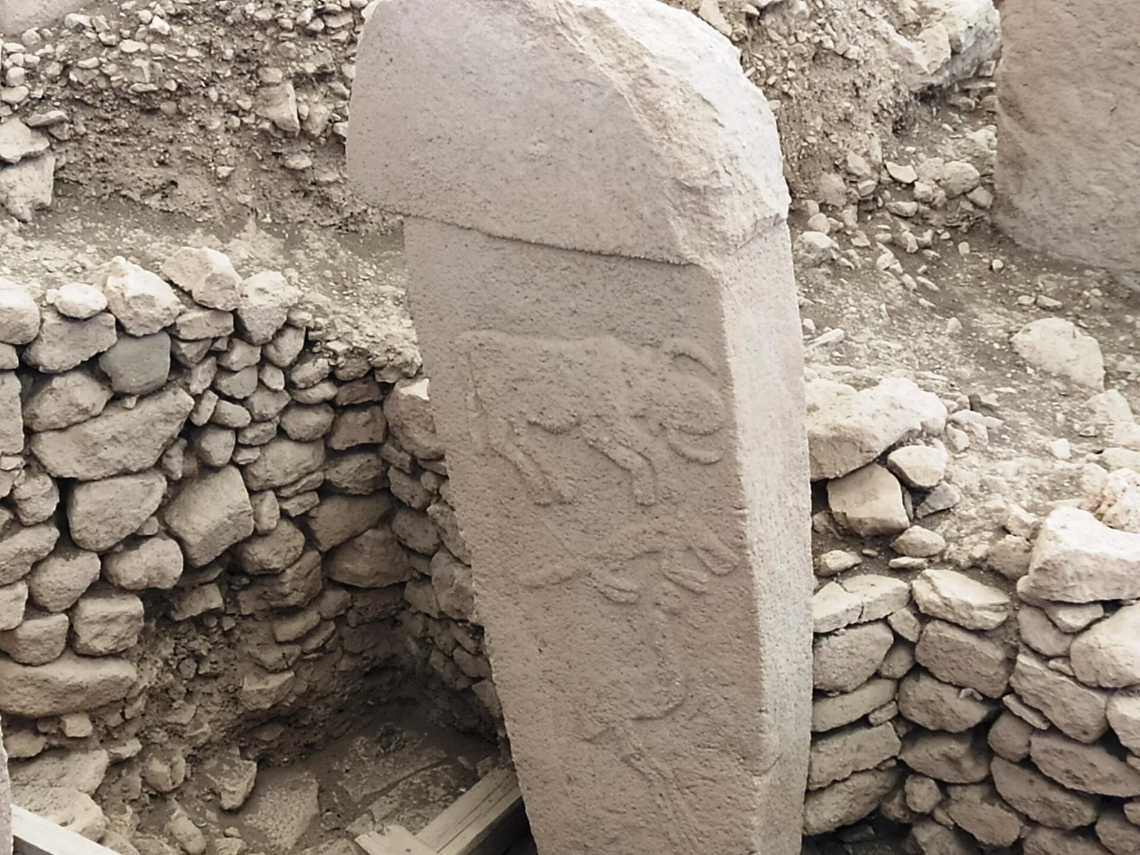

Every animal shown lived in the surrounding landscape. What the images meant, though, is still hidden from us.
Builders before farming
The pillars were raised by hunter-gatherers of the Pre-Pottery Neolithic, before pottery and before farming. They cut the stone from the limestone plateau right next to the site. A project like that took a great many hands and real planning, and the excavators suggest the builders may have turned to new sources of food to feed the workforce. That remains a hypothesis.
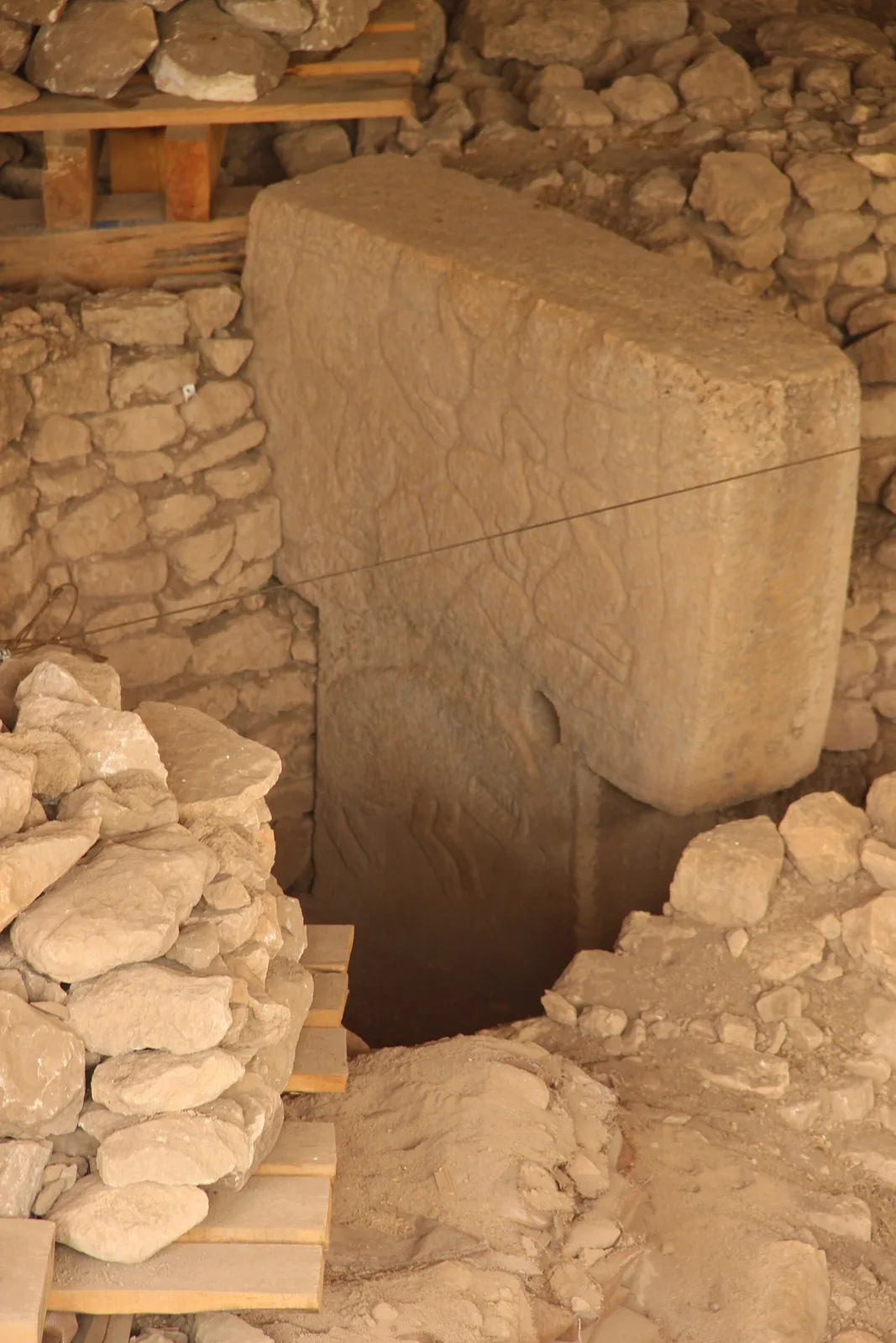

Temple or home?
For a while, headlines called Göbekli Tepe "the oldest temple of mankind." The research team now says "temple" is perhaps not the best term. Recent digs have turned up hearths, the leftovers of meals including animal bones and grain, what look like cisterns for collecting water, and burials. People clearly lived here, and the site is now seen as a settlement with a strong ritual side. The enclosures were not buried in one go, either; they were filled in over several episodes, a process that ended around 8000 BCE.
Visiting today
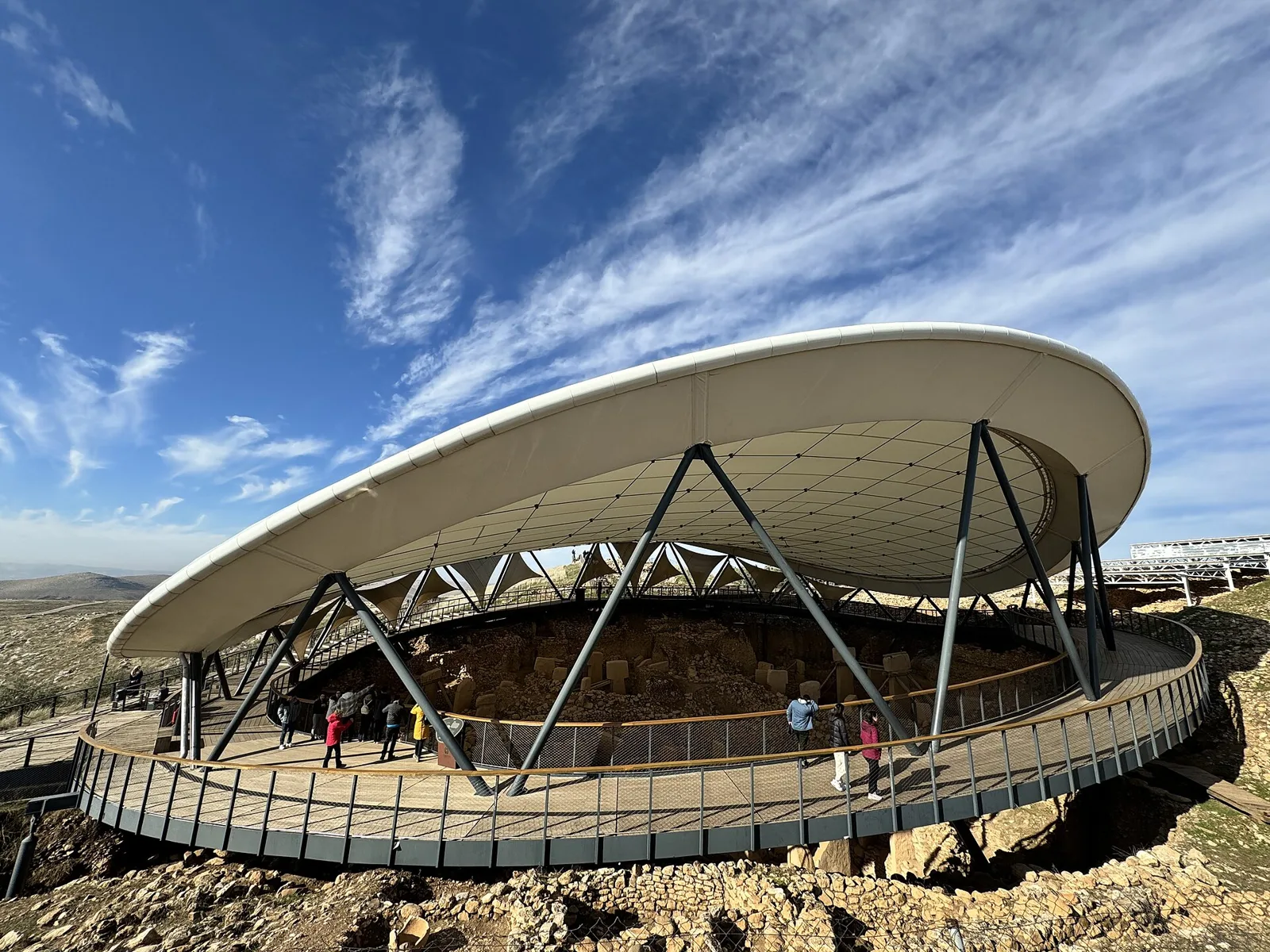
A large, flat white roof now shelters the excavation from sun and rain, with a walkway running around beneath it. The excavation itself is off limits, so you look down on it from the walkway and the hillside paths.
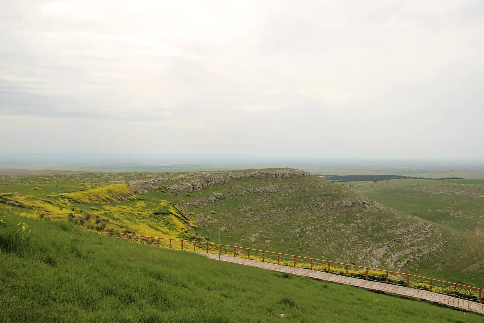

Find Göbekli Tepe on Wooriyeojido
Before farming, before pottery, people joined forces to carve and raise these pillars, and 11,000 years later they are still standing on their hilltop. Göbekli Tepe is pinned on the Wooriyeojido map. Look it up in the Wooriyeojido app, and if you go, leave your photos and stories from the day right beside it.
View this place in the Wooriyeojido appVideos of nearby places
 How were 2.3 million stones stacked? The Great Pyramid of Giza
 Stones moved across the sea by a wizard? Stonehenge
 A tomb lit by the winter solstice sun: Newgrange, Ireland